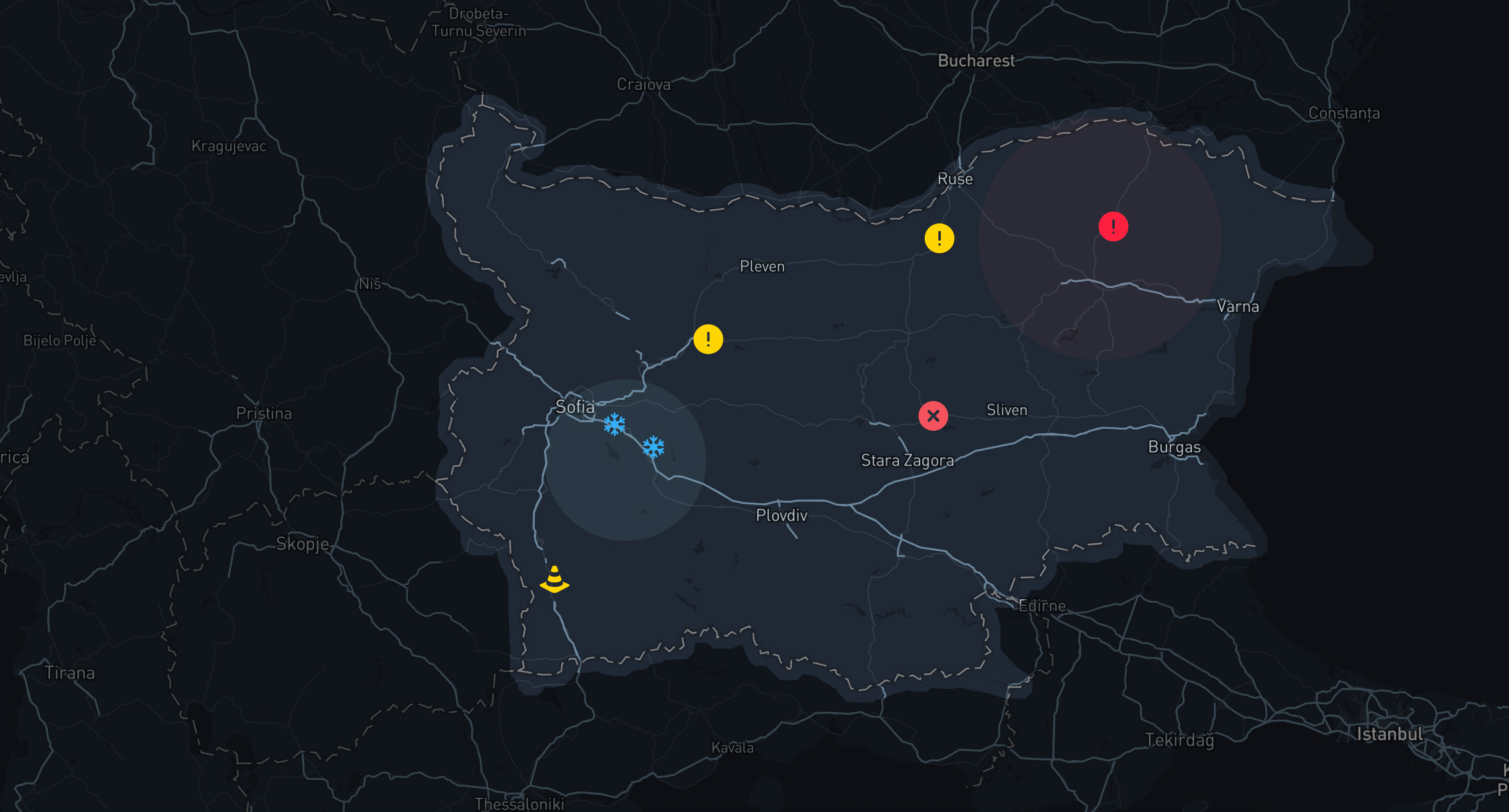
Road Hazards
Based on the different data sources we can detect different road hazards on the road.
Weather Data
Fog: Weather data from the Open Meteo API can provide insights into foggy conditions that reduce visibility, increasing the risk of accidents.
Aquaplaning: Information on precipitation and humidity from the Open Meteo Service can indicate conditions conducive to aquaplaning, where water accumulates on the road surface, leading to loss of traction.
Vehicle Data and Phon Data
Icy Roads: Vehicle data collected through OBD2 adapters and the RoadSense app can detect changes in vehicle traction and temperature, signaling potential icy road conditions.
Traffic Jams: Real-time vehicle data can help identify areas of congestion and traffic jams, allowing for timely alerts and rerouting options.
Road Emergencies: Anomalies in vehicle diagnostics data can indicate road emergencies such as breakdowns or accidents.
Space Data
Road Conditions: Satellite imagery processed by AI algorithms can assess road conditions, including the presence of potholes, debris, or road surface damage.
Cameras and Radars: Space data can incorporate information from cameras and radars to monitor traffic flow, detect incidents, and enforce traffic regulations.
OSM Data
Road Infrastructure: Data on road infrastructure from various sources, such as roadworks, construction zones, or poorly maintained roads, which can contribute to hazards like uneven surfaces or lane closures.
Incidents: Historical accident data can highlight areas prone to accidents, allowing for targeted safety measures and interventions.